
What counts as a perimeter intrusion detection system?
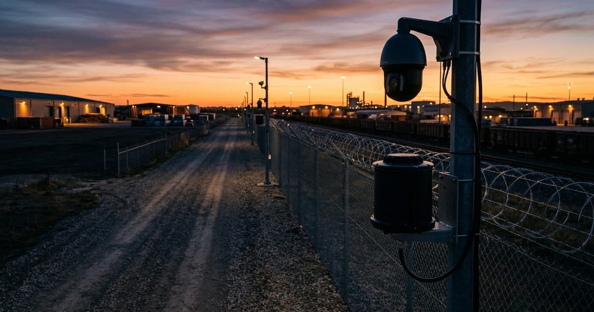
A perimeter intrusion detection system (PIDS) is any sensor layer that alerts you when someone crosses a defined boundary, ideally before they reach assets, buildings, or people. The category covers fence-mounted vibration and fiber-optic sensors, buried cable, ground surveillance radar, video analytics running on visible-light cameras, thermal imagers, and LiDAR. Each technology senses a different physical signal, which is why each one fails and succeeds under different conditions.
Fence-mounted sensors are the oldest of these approaches and still earn a place on sites with continuous, well-maintained fencing. They detect cutting and climbing directly on the barrier, but they only alarm at the fence line, they say nothing about what caused the disturbance, and wind, debris, and animals trigger nuisance alerts. Most modern designs treat fence sensors as one input to a layered system rather than the system itself.
Cost comparisons between these technologies are only meaningful per meter of protected boundary, not per device. A sensor that covers 400 meters from one head can beat a cheaper sensor that needs a mount every 50 meters, and any sensor that cannot verify its own alerts carries a hidden second cost: the camera or the person who has to confirm what it saw.
The four jobs every perimeter system has to do
Before comparing technologies, it helps to separate the four jobs a working perimeter system performs:
- Detect: notice that something crossed the boundary.
- Classify: determine whether it is a person, vehicle, or animal.
- Verify: confirm a real threat, almost always with a human looking at video.
- Respond: get someone to act on the verified incident.
No sensor performs all four jobs well. The comparison that follows is really about which jobs each technology does best, and which gaps you must fill with another layer.
Radar: wide-area, all-weather detection that cannot classify
Ground surveillance radar is the strongest pure detection technology in this comparison. A single Doppler radar head can sweep hundreds of meters of open ground, performs identically in darkness, fog, rain, and snow, and reports the range, bearing, and speed of anything moving in its coverage area. For large open sites, that is per-device coverage no camera can match.
The limitation is equally clear: radar's resolution is too low to classify the object it detected, a constraint documented in radar-video fusion research on arXiv. Radar can tell you something is moving at 180 meters and closing. It cannot tell you whether that something is a trespasser, a deer, or a tarp blowing across the yard. On its own, radar produces alerts nobody can act on with confidence, and it produces no imagery a prosecutor or an insurance adjuster can use.
Radar also wants open sightlines. Parked equipment, stacked materials, buildings, and terrain create shadows where targets disappear, so cluttered industrial sites often need more radar heads than the published range figures suggest, and the per-meter cost advantage shrinks accordingly.
Video analytics: classification and evidence, one field of view at a time
Video analytics turn cameras into detection sensors by running models that flag people and vehicles in the frame. A peer-reviewed survey of intrusion detection research notes that video-based systems scale well precisely because they can leverage cameras a site already has, and because every alert arrives with visual confirmation attached (Sensors, via PMC). That built-in verification is the property no other sensor on this list offers: the alert and the evidence are the same artifact.
Video is also the only technology here that produces prosecutable documentation. A radar track or a LiDAR point cloud proves that something was present. Recorded footage of a person cutting your fence supports criminal charges, insurance claims, and civil recovery.
The trade-off is geometric. As you extend a camera's detection range, its effective field of view narrows, so long-range coverage means either more cameras or thin slices of scene, a point made in an Axis Communications white paper (a vendor source, though the underlying optics are not in dispute). Video also depends on scene conditions: rain on the lens, glare, and dense fog degrade analytics, and a poorly tuned system will flood operators with nuisance alerts. Our guide to reducing false alarms in video analytics covers the tuning side in detail.
Where thermal cameras fit
Thermal imagers detect heat rather than reflected light, so they find warm targets in total darkness, through light foliage, and at long ranges. They support classification, since a person-shaped heat source is hard to disguise, but they capture no identifying detail such as faces or license plates, which makes thermal a detection layer rather than an evidence layer. Our thermal security camera guide covers where thermal earns its cost.
LiDAR: precise volumetric detection at a premium
LiDAR fires laser pulses and builds a live 3D point cloud of the protected zone, reporting the exact position, size, and trajectory of anything that enters. Because it measures geometry rather than pixels, it shrugs off the lighting changes, shadows, and headlights that trip up video analytics, and it can enforce genuinely volumetric rules, such as alarming when anything crosses an invisible plane above a fence top.
The costs are twofold. Financially, LiDAR remains among the more expensive detection options per meter of perimeter, which is why real deployments concentrate on short, high-consequence boundaries such as data center entries or substation gates rather than long fence lines. Operationally, LiDAR shares radar's core weakness: a point cloud shows a person-sized object, not a face or a plate, so it still needs a camera for verification and evidence. Heavy precipitation and dense fog can also attenuate laser returns, narrowing its all-weather edge over radar.
The fusion pattern: radar detects, video verifies
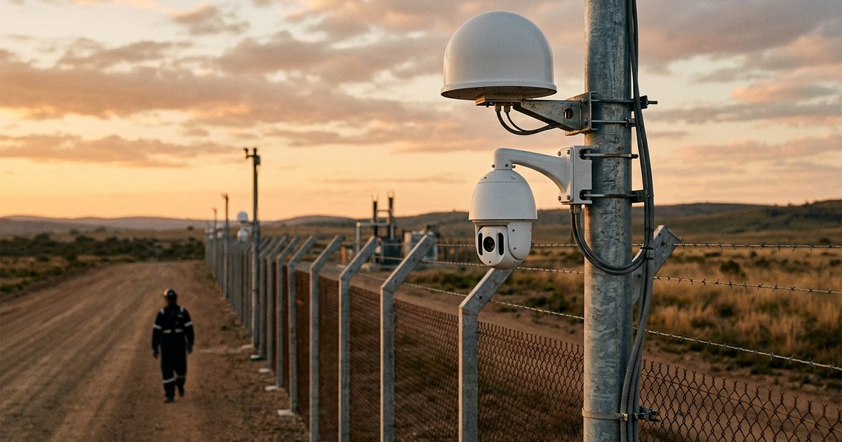
Most large perimeters converge on the same architecture: a wide-area sensor detects, and video classifies and verifies. In the common radar-cued PTZ pattern, radar picks up a moving target and hands its coordinates to a pan-tilt-zoom camera, which slews to the target automatically. Analytics classify it as a person or vehicle, and a human operator confirms whether it is a threat. Fusion research pursues this pairing because the strengths are exactly complementary: radar contributes wide-area, all-weather detection, and video contributes the classification and confirmation radar cannot provide.
The handoff between sensors is where fusion projects succeed or fail in practice. The radar and the camera must share one coordinate map of the site, the PTZ must slew fast enough to catch a moving target, and the alert queue must merge both sensors' events so operators see one incident, not two duplicates. Ask any integrator to demonstrate that workflow end to end before you buy the parts.
The pattern also scales down. A laydown yard might pair thermal detection with two analytics cameras, while a compact substation might pair fence sensors with fixed cameras and skip radar entirely. The principle holds at every size: let the cheapest reliable sensor detect, and let video answer what and who.
Which technology fits your site?
Site geometry drives the decision more than technology preference does. A short fence around a high-consequence asset rewards different choices than miles of remote linear boundary. The table below summarizes sensible starting points for four common site types.
| Site type | Perimeter profile | Primary detection | Verification layer |
|---|---|---|---|
| Electrical substation | Short fence, high consequence, usually unmanned | Video analytics plus fence sensors | Analytics alerts reviewed by monitoring operators |
| Airport GA ramp | Long fence line, open sightlines, active movement areas | Ground radar | Radar-cued PTZ with analytics |
| Construction laydown yard | Irregular, cluttered, layout changes weekly | Video analytics on relocatable units | Built into the video layer |
| Border or long linear corridor | Miles of remote boundary, no fixed power | Radar and thermal on towers | Long-range PTZ plus human review |
Substations sit at one extreme: the fence is short enough that camera-first coverage is affordable, and the consequence of a copper theft or vandalism incident is high enough to justify layering fence sensors on the barrier itself. Our substation physical security guide walks through placement and layering in depth. Airports sit at the other end of the density spectrum, with long sterile-area fence lines where radar's per-device coverage shines; see our post on airport perimeter security cameras for how detection and verification split across an airfield.
Laydown yards break the radar-first logic because clutter is the defining condition. Stacked pipe, containers, and parked machines carve the site into radar shadows, and the layout changes with every delivery. Analytics cameras on relocatable units follow the material as the yard evolves, which is why video-first coverage usually wins there despite its shorter per-camera reach.
Linear corridors are the hardest case: no site power, no network, and distances that make per-camera coverage math brutal. Solar towers pairing radar or thermal detection with long-range PTZ verification are the standard answer, a pattern we detail in our border perimeter security overview.
Detection is only half the system: verified response
Every technology above ends at the same handoff: an alert with a confirmed classification. What happens next determines whether the system prevents losses or merely records them. The Urban Institute finding cited at the top of this article involved actively monitored cameras, with people watching and responding, not unattended recorders.
Verification is also what makes response affordable. When a monitoring operator confirms that an alert is a person cutting a fence rather than a coyote crossing a radar beam, dispatch becomes rare and precise instead of constant and wasteful. That is the force-multiplier model: detection technology filters out the non-events so people, yours or your security partner's, handle the verified incidents that actually need them.
This layered model is how VDS approaches perimeter work: solar-powered mobile surveillance units bring analytics-equipped cameras to sites without fixed power or network, and a 24/7 monitoring center verifies each alert before anyone is dispatched. You can see how detection, verification, and response fit together on our platform page.
Choose by geometry and consequence, not by spec sheet. Radar for reach, video for proof, LiDAR for precision where it pays, thermal for darkness, and in nearly every case a fusion of at least two, watched by someone empowered to act.