
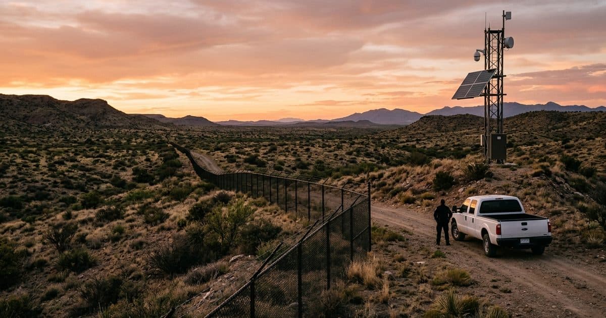
Miles of open ground.No power. No wire. No one close.
A remote border or perimeter is miles of unfenced, unpowered ground, crossed by routes that shift over time, with help measured in miles and minutes an incident won't wait for. VDS removes the two assumptions every conventional system makes — power at the pole and data on a wire — and replaces after-the-fact discovery with real-time detection and verified response, for private landowners and public agencies alike.
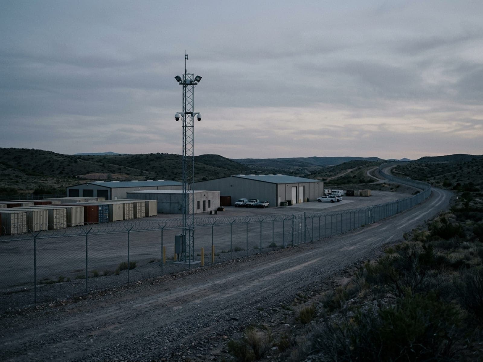
Securing a remote border property starts from two absences: no power on the ground, and no one nearby when something happens. Movement across this kind of land is deliberate — it follows terrain, funnels through gates, gaps, and water crossings, and it adapts, shifting to a new route once a camera position or a patrol rhythm becomes known. A landowner typically learns about a crossing from the cut fence or the tire tracks, days after the fact, and whoever might respond is a long drive away when it matters.
Conventional systems assume infrastructure this ground does not have, so most remote perimeters simply go unwatched — and a fixed camera bolted in where last season's traffic crossed goes quiet the moment the route moves. Detection alone is not enough out here either: open terrain generates constant motion from wildlife, livestock, and weather, and unverified alerts exhaust whoever receives them until the alerts stop being read. The workable model pairs detection with a live operator who filters that noise, confirms what is actually a person or a vehicle, and escalates to the landowner or agency with a location and footage in hand.
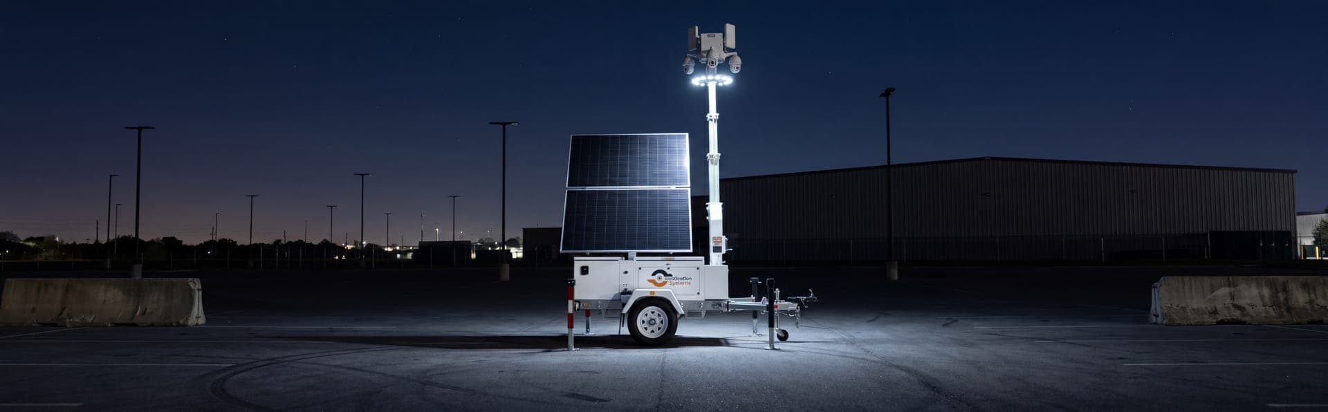
Remote perimeter surveillance is precisely the deployment a solar-powered mobile unit was designed around. It generates its own power, transmits over cellular — or satellite where there is no signal at all — and gains its reach from elevation over open country, with optional thermal imaging carrying detection through full darkness. Because it tows and repositions, coverage follows the activity instead of waiting for it to come back, and NDAA-compliant configurations serve public agencies as readily as private ranches.
The sections below lay out the threat picture on remote boundaries — trespass and property damage, shifting routes, infrastructure gaps, and response distance — the sensing and monitoring package VDS puts on open ground, reported outcomes from perimeter deployments, and the questions landowners and agencies raise when they first scope coverage.
Exposed sites.
High-value targets with no one watching.
Minimal staffing, sprawling ground, and valuable assets in the open — the conditions that turn a site into a soft target the moment everyone goes home.
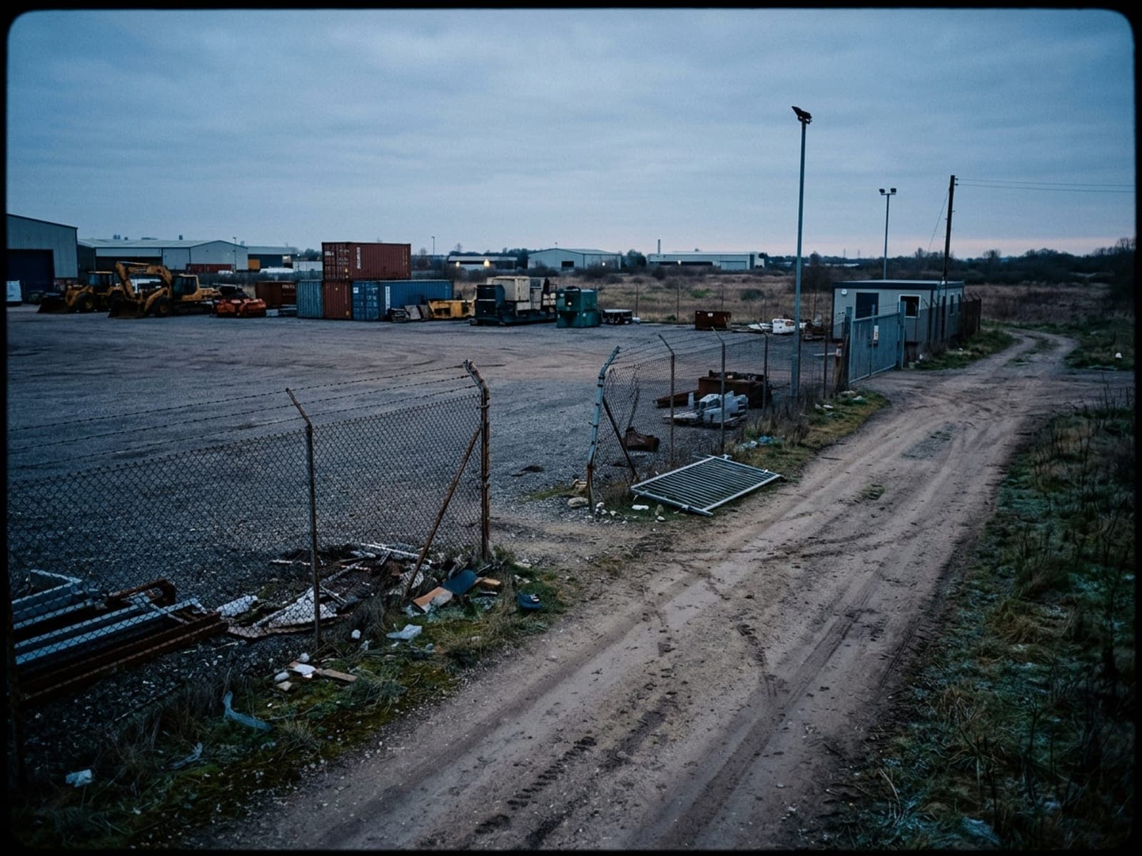
Trespass and property damage
Cut fences, foot and vehicle traffic, and property damage across land far too large to patrol — usually found after the fact.
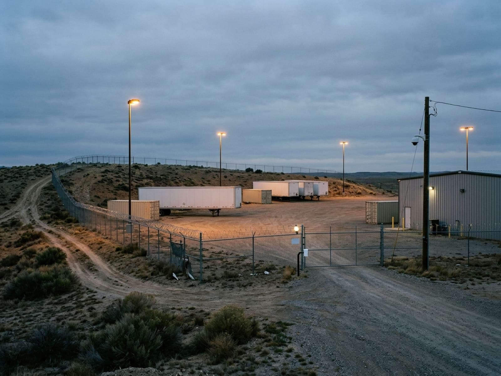
Activity that shifts routes
Movement across a remote perimeter routes around known cameras and moves over time, timed for the gap between patrols.
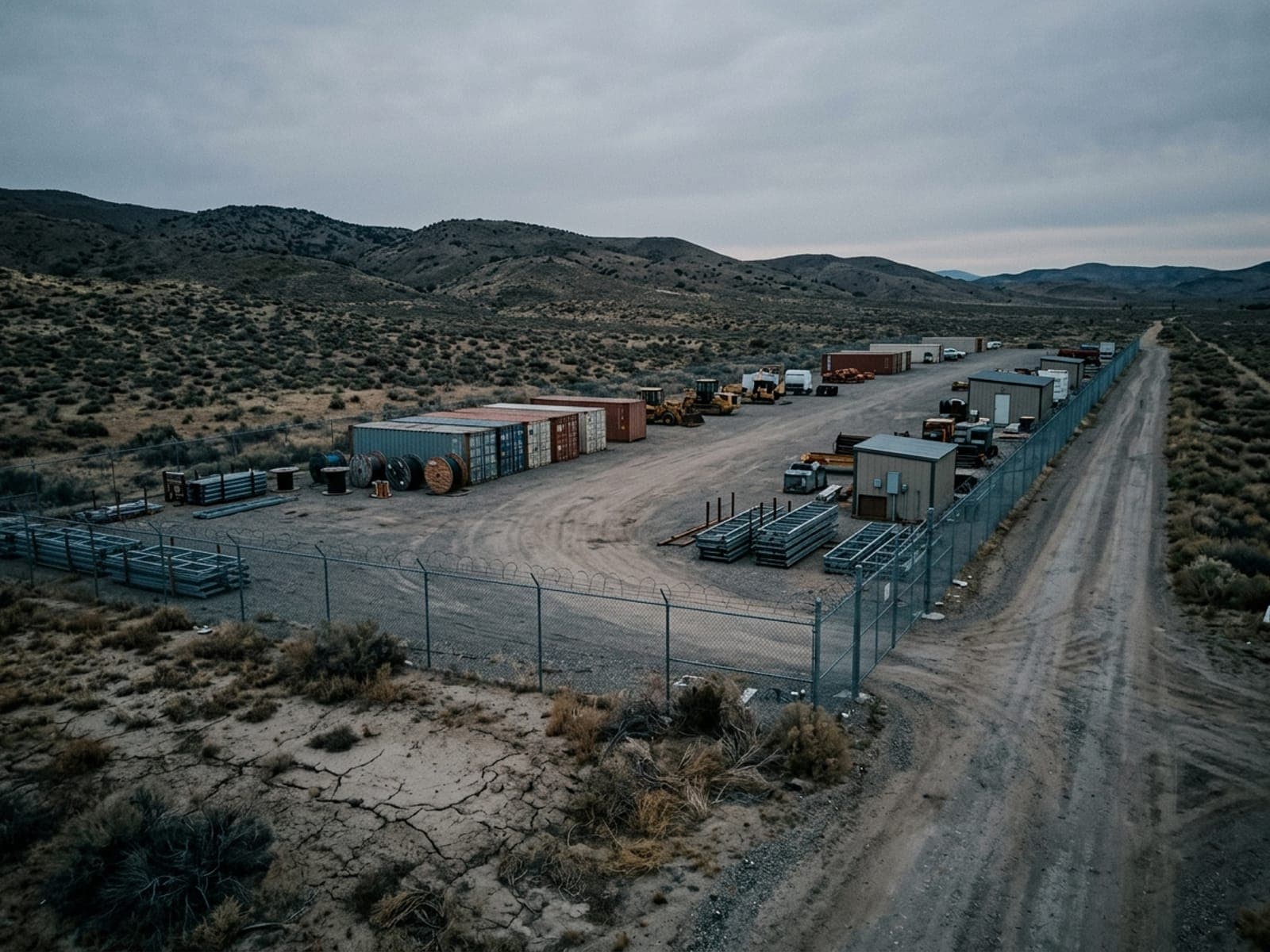
No power, no connectivity
The ground has no grid power to run a camera and no wire to carry its signal — where conventional systems simply can't go.
Long response times
Remote perimeters are far from whoever responds, so detection without real-time verification just documents what couldn't be stopped.
Drop the trailer.
The SOC takes it from here.
Solar-autonomous surveillance with AI analytics and live SOC operators. No power, no internet, no staffed post required.
Ground with no pole.
Covered anyway.
Each unit generates its own power and transmits over cellular — or satellite where there's no signal. On open terrain at night, elevation and thermal beat resolution: a unit on a rise detects a person or vehicle in full dark at a range fixed daytime cameras never reach.
- Solar-autonomous — no grid, no wire
- 4G/LTE cellular or satellite backhaul
- LWIR thermal detection across distance
- Elevated wide-area sightlines
 STEP 01
It moves.
So do we.
Activity routes around known cameras and shifts over time. A fixed camera installed where last year's traffic crossed is blind the moment it moves. Units reposition as intelligence and patterns change — the only way to keep pace.
- Reposition as routes and patterns shift
- Cover chokepoints, gates, and crossings
- Surge a unit onto an incident area
- No construction to move coverage
 STEP 02
Every vehicle.
Every crossing.
Where vehicles funnel through a gate or crossing, license plate recognition builds a time-stamped record of every vehicle — supporting real-time hot-list alerts and after-action investigation across sites.
- Automatic plate capture at gates and crossings
- Hot-list alerts for flagged vehicles
- Time-stamped vehicle log for investigation
- Evidence packages for law enforcement
 STEP 03
Verified response.
Documented record.
Every alert reaches a live operator who confirms it isn't wildlife or a caretaker, then escalates to the landowner or agency and coordinates law enforcement with location and footage. NDAA-compliant configurations are available for public and federally funded procurement.
- Live verification filters open-terrain noise
- Escalation with location and verified footage
- Logged record for enforcement and accountability
- NDAA-compliant hardware for public buyers
 STEP 04
Every asset on site.
One platform.
The MSU covers ground that has no infrastructure. Here are the border and perimeter scenarios operators deploy for most often.
Private landowners & ranches
Rural property along or near a border facing trespass, cut fences, and traffic across land too large to watch.
Public agencies & municipalities
Local governments monitoring a defined stretch of boundary with documented, accountable coverage.
Critical facilities near a border
Utilities, ports, and infrastructure that need perimeter awareness on remote ground.
Gates, gaps & water crossings
The terrain chokepoints where movement concentrates and coverage earns its value.
Incident & surge coverage
Drop a unit onto a specific stretch after an incident, then move it as the situation changes.
Remote perimeters anywhere
Any long, unfenced, unpowered boundary where the risk outlasts the infrastructure.
Real operators.
Real numbers.
Every metric below reflects a real VDS remote-perimeter deployment. Names protected per agreement.
Customer-reported outcomes from VDS deployments. Results vary by site conditions, monitoring configuration, and response protocols. How we measure →
We used to find the cut fence on the next drive-through. Now the SOC calls me while it's happening, tells me where, and law enforcement rolls with footage in hand.
 MSU-A · FLAGSHIPTHERMAL + LPR · PERIMETER
The Mobile Surveillance Unit.
Built for open ground.
Solar power, thermal detection, LPR at the crossings, and 24/7 SOC monitoring — relocatable coverage for ground that has no power, no wire, and no one close.
From assessment
to covered.
Most operators go from first conversation to a live unit on the ground inside 7 business days — and reposition it as the activity moves.
Terrain & route assessment
We map how movement crosses the ground — chokepoints, gates, gaps, and crossings — and confirm signal at each position.
Sensor configuration
Thermal zones, detection rules, LPR at crossings, and escalation protocol configured for the terrain and the buyer.
Delivery & commissioning
Units towed to position, raised, and calibrated. SOC monitoring begins immediately over cellular or satellite.
Monitoring & repositioning
Live monitoring with documented records; units reposition as intelligence and activity shift along the perimeter.
Common questions.
How fast can VDS deploy at a border & perimeter site?
A mobile surveillance unit is live in under 20 minutes once it arrives — most border & perimeter sites go from first call to monitored coverage in days, not months. Most operators go from first conversation to a live unit on the ground inside 7 business days — and reposition it as the activity moves.
Do the units need power or internet at the site?
No. VDS units are solar-autonomous with battery storage and connect over cellular (4G/5G), so there is no trenching, no generator refueling schedule, and no dependence on site IT. That is what makes them practical for sites where fixed infrastructure is missing or still under construction.
What happens when the system detects someone after hours?
AI detection classifies the event and filters routine motion before a person ever sees it. A SOC operator verifies the live feed, challenges intruders by voice through 120 dB speakers with strobes, and — when it escalates — dispatches police with live video of the scene.
Which border & perimeter security problems does monitored surveillance address?
The most common incidents at border & perimeter sites are trespass and property damage, activity that shifts routes, no power, no connectivity, long response times — the same exposure areas covered in the sections above. Monitored coverage addresses them by making the site actively watched instead of just recorded.
Can VDS work alongside our existing guards or security partner?
Yes — that is the standard model. Monitored surveillance carries the perimeter and after-hours watch, so people — yours or your security partner's — handle verified incidents instead of standing watch over empty hours. The SOC can route verified alerts to your team, your guard provider, or police dispatch.
Cover ground with no infrastructure this week.
Tell us the terrain, the crossings, and whether you're a landowner or an agency — we'll build the plan.