
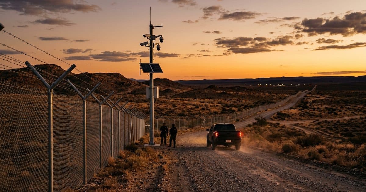
Solar-autonomous mobile surveillance is one of the few approaches that actually fits that terrain, because it removes the two assumptions every conventional system makes — power at the pole and data on a wire — and replaces slow, after-the-fact discovery with real-time detection and verified response. This post covers the shared challenge of remote perimeter security, how it looks different for private landowners and for public agencies, why standard systems can't hold that ground, what an effective coverage plan looks like, and the compliance requirements public buyers have to meet.
The Shared Problem: Distance, Power, and Time
Remote perimeter security, at a border or anywhere else, comes down to three constraints that compound each other. The distance is too great to fence or patrol continuously. The ground has no infrastructure — no power to run a camera, no wire to carry its signal. And the response time is long, because remote perimeters are, by definition, far from the people who would respond. Any one of these is manageable. Together they defeat the systems most operators reach for first.
The result is a reliance on discovery after the fact. A cut fence found on the next drive-through. Tracks across a field noticed the following morning. Property damage that's already done by the time anyone knows it happened. The activity that crosses a remote perimeter is often deliberately timed for the gap between patrols and the cover of night — the exact window in which an unpowered, unwatched stretch of ground offers no friction at all.
Closing that gap doesn't require watching every foot of the line. It requires detecting activity at the places it actually happens, verifying it in real time, and getting that verified information to whoever responds — fast enough to matter. That's a surveillance-and-monitoring problem, and it's solvable on ground that will never have a power pole.
Two Buyers, One Terrain: Landowners and Agencies
The remote perimeter looks different depending on who's responsible for it, and the framing of a coverage plan changes accordingly.
For private landowners — ranchers, farmers, and rural property owners whose land lies along or near a border — the problem is personal and practical. Documented accounts from ranchers in border regions describe recurring trespass, cut fences, property damage, dead livestock, and foot and vehicle traffic crossing land far too large to watch. The concern is safety and property, and the frustration is the powerlessness of only ever finding out after the fact. For these owners, surveillance at the routes traffic uses — gates, fence gaps, water crossings, and the two-track roads that channel movement — turns an unknowable property line into something they finally have awareness of. It connects naturally to the broader challenge of securing remote agricultural land and ranches, where the same acreage-versus-visibility problem applies.
For public agencies and municipalities — local governments, ports, utilities, and operators of critical infrastructure near a boundary — the problem is coverage, accountability, and procurement. Agencies need to monitor defined stretches of ground, document what happens there, coordinate a response, and do it all with equipment that meets public-sector standards. This is public-safety and government work, and it carries requirements a private buyer doesn't face — most notably NDAA compliance, covered below. What both buyers share is the terrain and the physics: the ground is remote, unpowered, and unconnected, and the system that secures it has to solve those facts before it solves anything else.
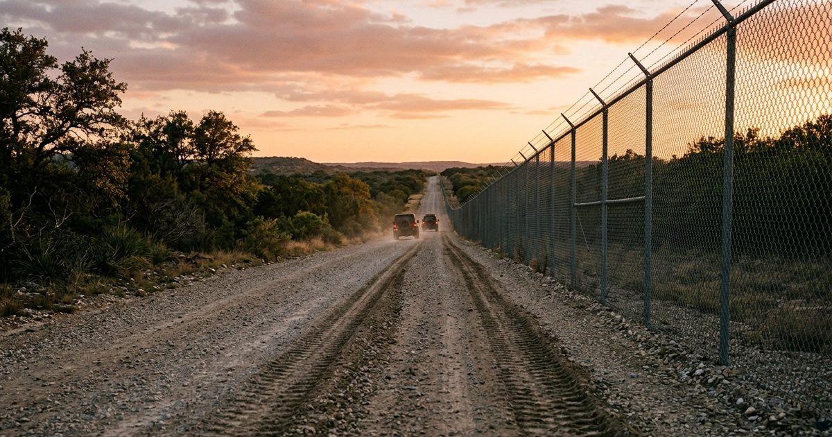
Why Standard Systems Can't Hold Remote Ground
A fixed camera system needs power, connectivity, and a mounting point. A remote perimeter offers none of the three reliably. The comparison is stark:
| Capability | Fixed CCTV / Wired Sensors | Solar Mobile Surveillance |
|---|---|---|
| Power | Requires grid or generator with fuel logistics across remote ground | Solar with battery storage — fully autonomous, no grid |
| Connectivity | Hardwired or fixed wireless — absent on open terrain | 4G/LTE cellular, or satellite where there's no signal |
| Coverage model | Fixed points; blind to activity that shifts to new routes | Relocatable — move with the activity as routes change |
| Detection at night | Limited without added lighting infrastructure | Thermal imaging and analytics detect movement in full dark |
| Response | Passive recording reviewed later | Live remote monitoring with verified real-time escalation |
The relocatability point is the one operators underestimate. Activity across a remote perimeter is not static — it moves to wherever the friction is lowest. A fixed camera installed where last year's traffic crossed is blind the moment that traffic shifts a mile down the line. A Mobile Surveillance Unit treats coverage as something you reposition as intelligence and patterns change, which is the only way to keep pace with movement that actively routes around known cameras.
Tip: On open terrain, elevation and thermal beat resolution. A unit sited on a rise with pan-tilt-zoom and thermal imaging covers a far wider area and detects a person or vehicle in complete darkness at a range where a fixed daytime camera would show nothing. When you plan positions, prioritize sightlines and thermal detection range over sheer megapixel count — you're trying to detect and classify movement across distance at night, not read a license plate in daylight (though LPR at a gate or chokepoint does exactly that where vehicles funnel through a known point).
What a Remote Perimeter Coverage Plan Looks Like
Effective perimeter coverage starts from the terrain and the routes, not the equipment list. Before placing anything, map how movement actually happens across the ground: where does terrain funnel foot and vehicle traffic, where are the gates and gaps, where does water or a road create a natural crossing? Those chokepoints are where coverage earns its value.
A typical remote perimeter plan includes:
- Chokepoints and crossings: Gates, fence gaps, water crossings, and the two-track roads that channel movement. These are the highest-value positions — terrain does the work of concentrating traffic, and a unit here sees what has to pass through. Object detection analytics classify people versus vehicles versus wildlife so alerts mean something.
- Vehicle chokepoints with LPR: Where vehicles funnel through a known point, license plate recognition builds a time-stamped record of every vehicle, which supports both real-time hot-list alerts and after-action investigation.
- Elevated wide-area positions: Units on high ground with thermal PTZ covering the open stretches between chokepoints — detection across distance rather than dense coverage of a single point.
- Incident and surge positions: The flexibility to drop a unit onto a specific stretch after an incident or a shift in activity, then move it again as the situation changes.
Because each solar-autonomous unit is independent — its own power, its own connectivity — positions can be placed and moved across miles of ground with no cabling and no construction. That's what makes a coverage plan on remote terrain a living thing rather than a fixed installation frozen where it started.
Remote Monitoring and Verified Response
Detection without response is just a more detailed record of things you couldn't stop. On a remote perimeter, where the responder is far away, the value of the whole system rests on what happens in the seconds after a camera sees something.
Remote video monitoring routes every alert to a monitoring operations center where operators verify it in real time and execute a defined escalation. A thermal detection of a group moving across a field at night reaches a human operator who confirms it's not livestock or a caretaker, then escalates on protocol: notify the landowner or the agency's operations desk, and coordinate law-enforcement response with time-stamped location and verified footage in hand. The responder arrives knowing what's there and where, instead of driving out to check a sensor trip that might be a deer.
That verification step is what makes remote perimeter monitoring workable rather than exhausting. Open terrain generates constant movement — wildlife, weather, livestock, legitimate traffic. A system that alerts on all of it trains its operators to ignore it. A monitoring workflow with proper detection zones and human verification filters the noise so that an escalation is a real event, and every alert and action is logged into a documented record for law enforcement, for prosecution, and for accountability.
Compliance and Procurement for Public Buyers
Public-sector and federally funded deployments carry a requirement private buyers don't: the equipment usually has to comply with NDAA Section 889, which prohibits certain foreign-manufactured video surveillance and telecommunications components in government systems and federally funded procurements. For agencies, municipalities, ports, and critical-infrastructure operators, this is frequently a hard procurement gate — a system built on non-compliant hardware can be disqualified regardless of how well it performs.
The practical implication is to specify compliance from the start rather than discovering a gap late in procurement. VDS addresses NDAA-compliant configurations directly, so public buyers can build a remote perimeter system that meets the standard as designed. For agency buyers, it's also worth confirming the surrounding requirements — data handling, retention, and chain-of-custody documentation — early, because a remote perimeter program that produces evidence for enforcement has to produce it in a form that holds up.
Common Mistakes in Remote Perimeter Security
- Fixing cameras where activity is today. Movement across a remote perimeter routes around known cameras and shifts over time. A fixed installation goes blind the moment the pattern changes. Plan for relocatable coverage that moves with the activity.
- Prioritizing resolution over thermal and sightlines. On open ground at night, the job is detecting and classifying movement across distance — a task thermal imaging and good elevation solve and raw megapixels don't. Site for sightlines and specify thermal where night detection matters.
- Skipping the verification layer. Open terrain generates endless benign motion. Cameras that alert on all of it get ignored; a monitoring workflow with detection zones and human verification is what makes the alerts meaningful and the responses real.
- Assuming connectivity. Remote perimeters often have weak or no cellular signal. Verify signal at each position during planning and plan for satellite where there's no cell service, rather than deploying and finding the gap later.
- (Public buyers) Discovering NDAA non-compliance during procurement. Specifying hardware that fails Section 889 after a system is designed is a costly reset. Confirm NDAA-compliant configurations and the surrounding data and evidence requirements at the planning stage.
Remote perimeters are one point on a spectrum of ground where infrastructure runs out but risk doesn't. The same solar-autonomous, remotely monitored approach secures off-grid islands and remote waterfront and open beaches and coastal sites — anywhere the power and the wire stop but the need to see doesn't.