
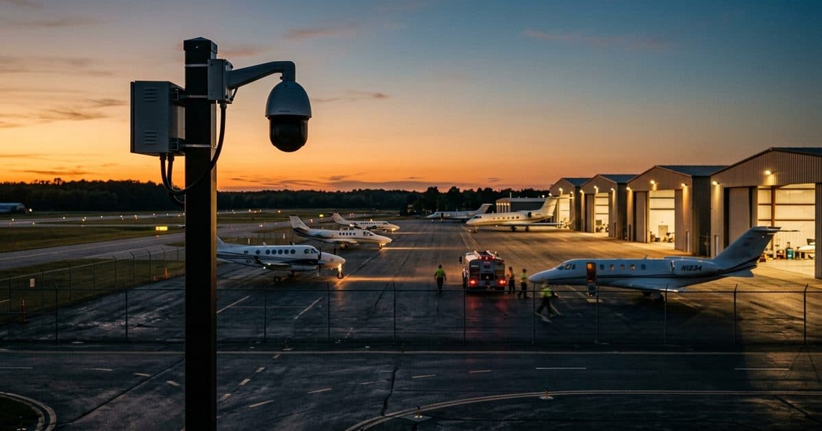
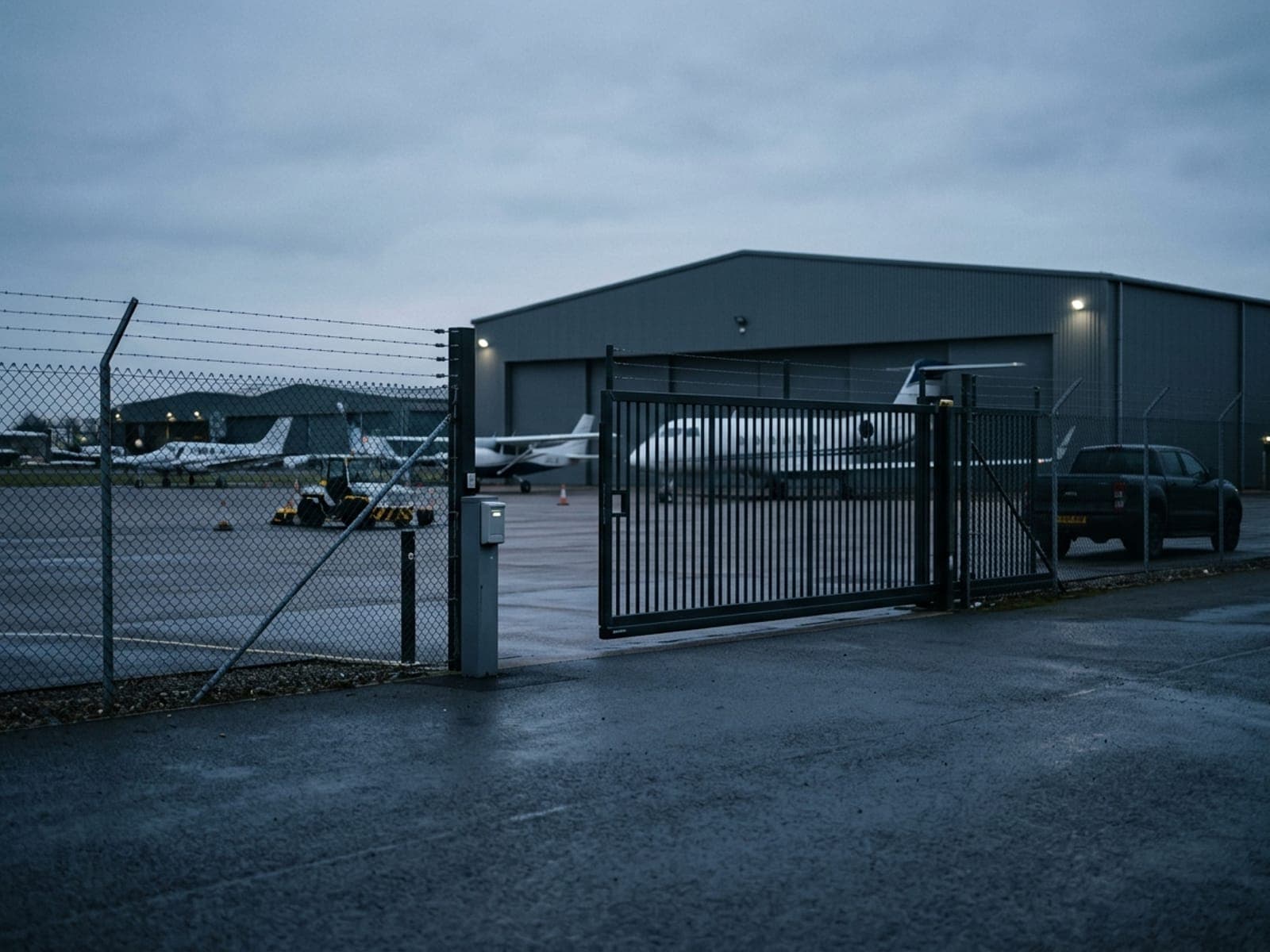
A mile of fence line. No one on it.Until now.
General aviation airports and FBOs run long, unlit perimeter fences and open ramps with skeleton crews and no overnight staff. A person, vehicle, or animal on the airfield isn't just a theft risk — it's a runway incursion. VDS deploys solar-autonomous surveillance along the fence and ramp, reads every plate at the vehicle gate, and puts a live SOC operator on every alert — coverage the wired camera runs never reached.
A general aviation airport is a security problem measured in fence, not doors. The perimeter runs through long stretches of unlit ground, the FBO closes in the evening, and the assets — parked aircraft, avionics, tools, the fuel farm — spread across ramps and hangar rows far from the one building anyone occupies overnight. The stakes are also different in kind: a person, vehicle, or animal through the fence is not just a theft risk but a potential runway incursion, which makes an undetected breach unacceptable in a way a missing battery is not.
Wired camera infrastructure at smaller airports clusters where the conduit already is — the terminal, the main apron — and leaves the far fence line dark; extending it means trenching across active airfield ground that operations will not casually approve. Passive recording is little help against a safety event, because footage only matters afterward. What changes the picture is classification and verification in real time: analytics that tell a coyote from a fence-climber, and a live operator who confirms the incursion and gets it to the airport authority while there is still time to act.
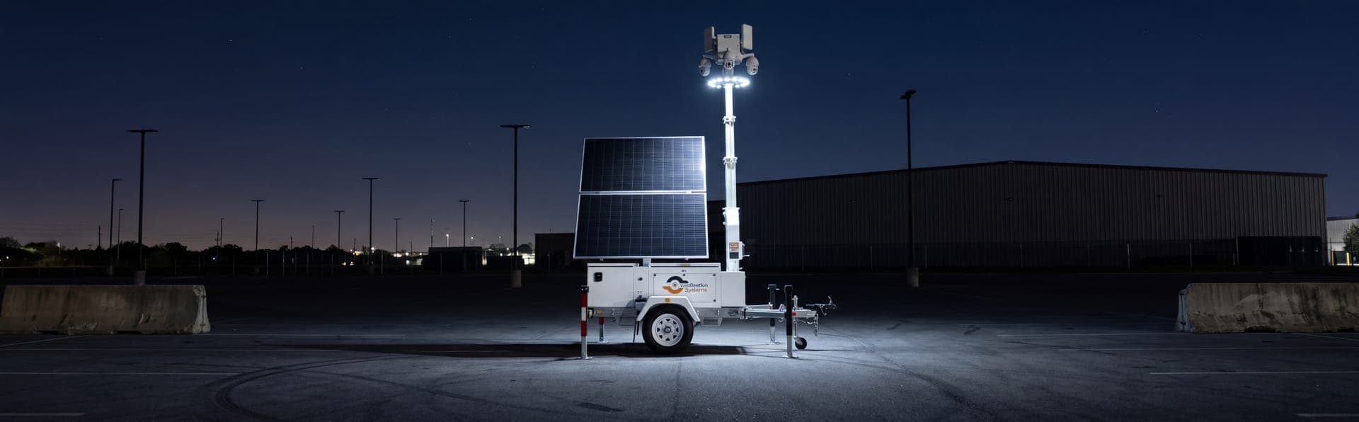
This is where general aviation airport security aligns naturally with a solar-powered mobile surveillance unit. The trailer positions along the perimeter or beside the fuel farm without conduit, trenching, or airfield construction, raises a mast over ground no wired run ever reached, and connects over cellular independent of field infrastructure. License plate recognition records every vehicle through the ramp gate, NDAA-compliant hardware suits federally funded procurement, and the unit repositions as construction, incidents, or risk patterns shift across the field.
The sections below detail the exposures FBOs and regional airports raise most — fence-line incursions, avionics theft, fuel-farm and hangar break-ins, unauthorized ramp access — the configuration VDS deploys for each, customer-reported outcomes from airfield deployments, and answers to the questions airport managers tend to ask first.
Exposed sites.
High-value targets with no one watching.
Minimal staffing, sprawling ground, and valuable assets in the open — the conditions that turn a site into a soft target the moment everyone goes home.
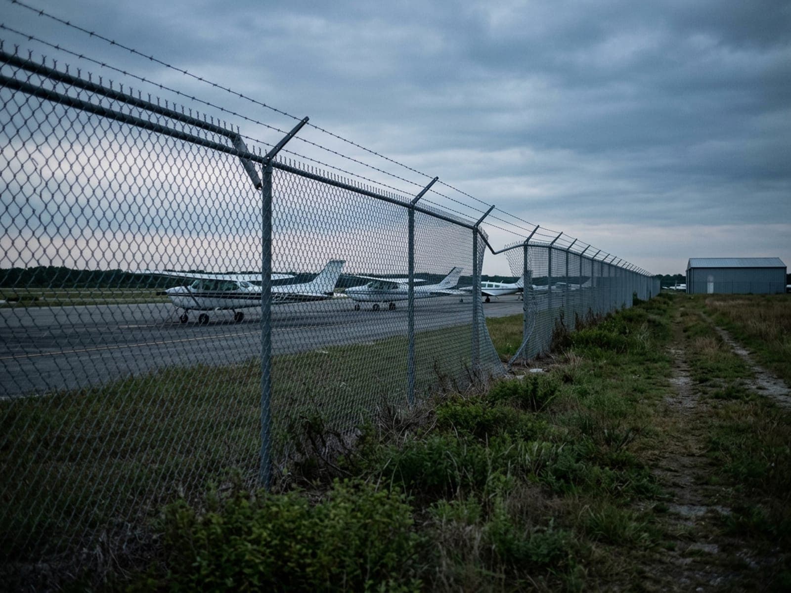
Fence line incursions onto the airfield
A person, vehicle, or animal breaching the perimeter fence isn't just a security event — it's a runway and taxiway safety incident waiting to happen, often along stretches of fence with no camera anywhere near them.
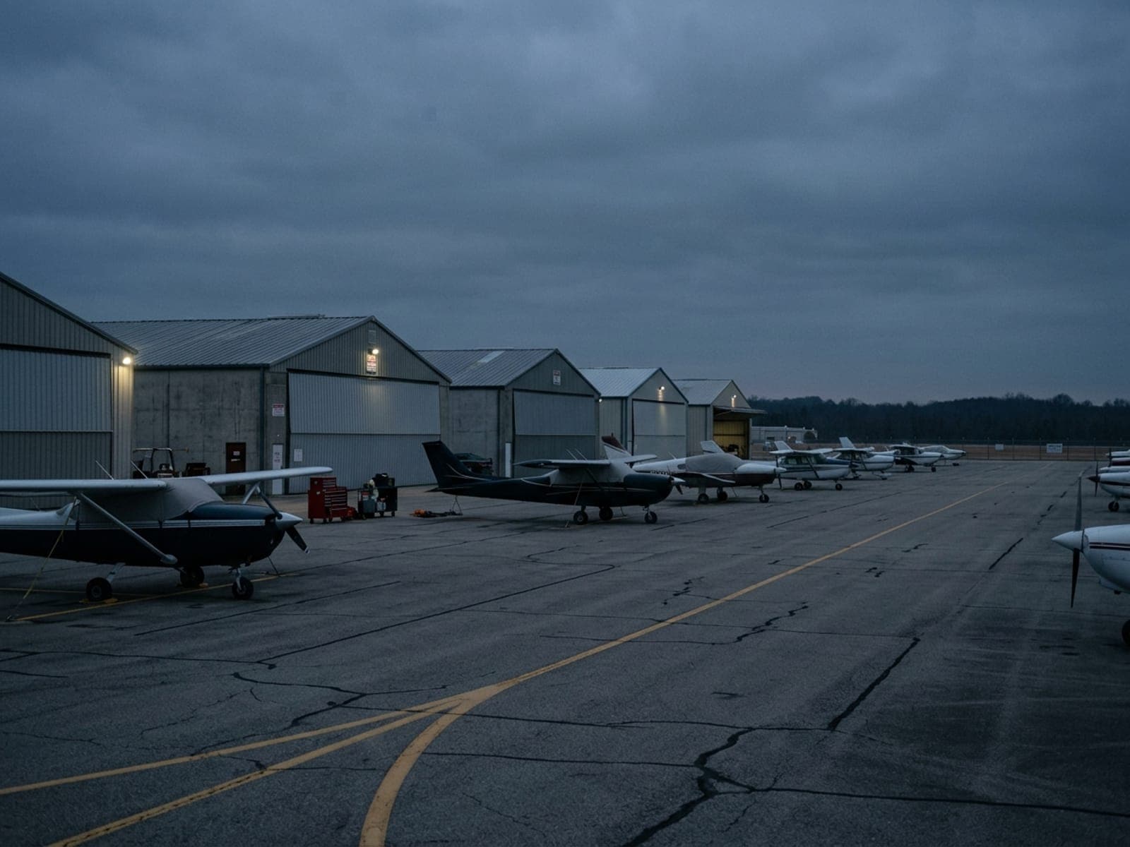
Aircraft and avionics theft
Parked aircraft on an open ramp are an easy target after hours — avionics, batteries, and tools disappear from unlocked hangars and tie-downs with no one around to notice until the next flight.
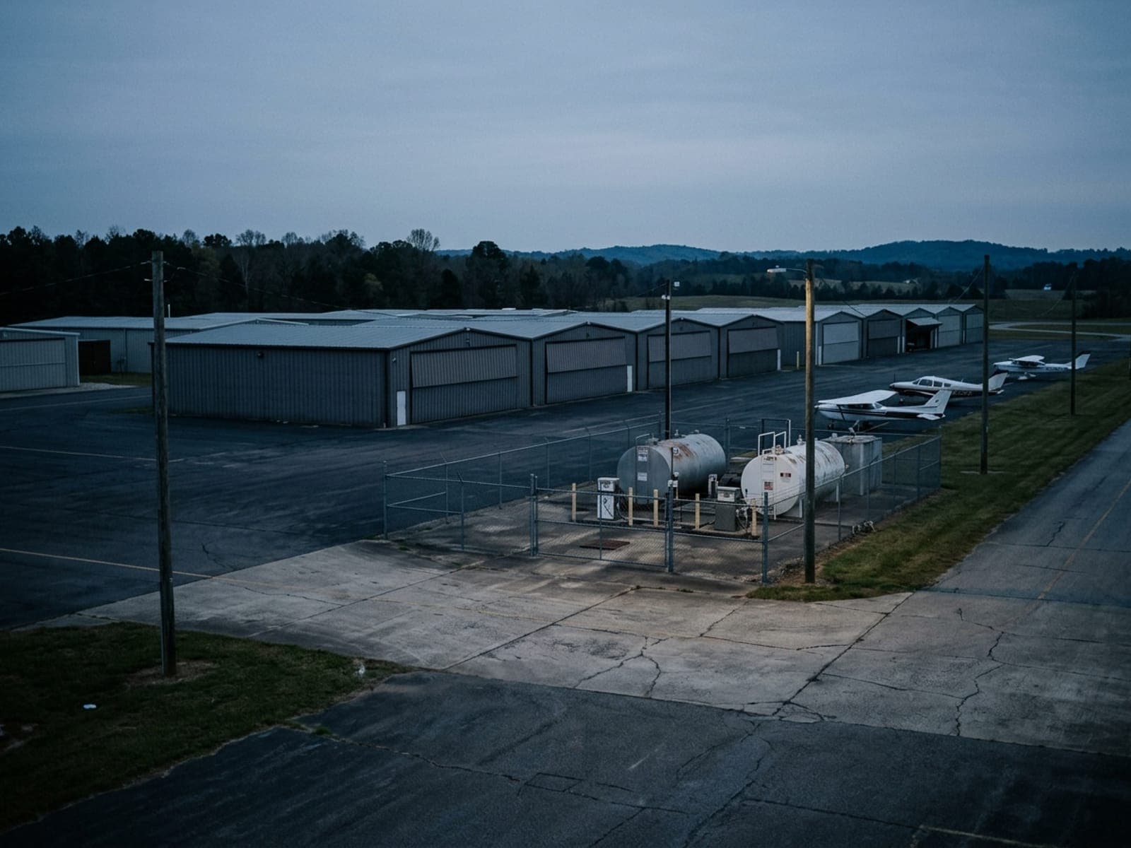
Fuel-farm theft and hangar break-ins
Fuel farms and hangar rows sit at the edge of the property, away from the terminal, and are frequent targets for fuel theft and forced entry when the field goes quiet overnight.
Unauthorized ramp and gate access
Vehicles and individuals tailgating through the ramp gate or bypassing access control put unbadged people next to active aircraft — a liability and compliance exposure for the airport authority.
Drop the trailer.
The SOC takes it from here.
Solar-autonomous surveillance with AI analytics and live SOC operators. No power, no internet, no staffed post required.
Every vehicle.
Every ramp gate.
License plate recognition at the vehicle gate logs every entry and exit, ties ramp access to a time and a plate, and flags hotlisted vehicles — turning the one chokepoint onto the airfield into an evidence-grade record.
- Automatic plate capture at the ramp gate, day and night
- Entry/exit log tied to time and plate
- Hotlist alerts for flagged vehicles
- Evidence packages for airport authority and law enforcement
 STEP 01
The fence line.
Finally covered.
The MSU establishes elevated coverage along stretches of unlit perimeter fence that wired cameras never reached. AI classifies person, vehicle, or animal on the airfield and flags an incursion before it becomes a runway safety event.
- Elevated coverage across unlit fence lines and ramps
- AI classification of person, vehicle, and wildlife
- Incursion alerts routed in real time
- Full coverage in zero-light conditions
 STEP 02
No overnight staff.
A live operator instead.
Every alert routes to a live SOC operator who verifies it, issues a real-time audio warning through the on-unit speaker, and escalates to airport authority or law enforcement — cutting false dispatches and giving a verified response after the office closes.
- Live operator verification on every alert
- Real-time voice-down warnings through the speaker
- Escalation to airport authority and law enforcement with footage
- Monthly incident and access reporting
 STEP 03
No trenching.
No wiring the whole field.
Solar power and 4G/5G cellular mean coverage goes where the risk is — the far fence line, the fuel farm, the hangar row a wired run never reached — with no trenching, no conduit, and no utility work across active airfield ground.
- Solar-autonomous — no grid power required
- 4G/5G cellular backhaul, independent of airfield infrastructure
- NDAA-compliant hardware for federally funded procurement
- Relocatable as construction, incidents, or risk shift
 STEP 04
Every asset on site.
One platform.
The MSU adapts to airfield layout and airport-authority requirements. Here are the scenarios FBOs and regional airports deploy for most often.
Perimeter fence lines
Long, unlit stretches of airfield fence far from the terminal where incursions by people, vehicles, or wildlife go unseen by wired camera runs.
Open ramps & tie-downs
Parked aircraft on an unsecured ramp overnight, exposed to avionics and equipment theft with no on-site staff to notice.
Vehicle & ramp gates
Access points where LPR ties every entry to a plate and flags tailgating onto active airfield ground.
Fuel farms
Isolated fuel storage at the edge of the property, a recurring target for theft when the field goes quiet.
Hangar rows
Rows of individual and corporate hangars where forced entry and equipment theft happen after the FBO closes.
Temporary gaps & incidents
Construction, fence repair, or a recent incident that leaves a stretch of perimeter exposed until a permanent fix is in place.
Real operators.
Real numbers.
Every metric below comes from a real VDS aviation customer. Names protected per agreement.
Customer-reported outcomes from VDS deployments. Results vary by site conditions, monitoring configuration, and response protocols. How we measure →
We had a mile of fence and nobody on it after 6pm. The trailer covers the stretch our wired cameras never reached, and the SOC catches an incursion before it's anywhere near a taxiway.
 MSU-A · FLAGSHIPLPR + SOC · AVIATION
The Mobile Surveillance Unit.
Built for the whole airfield.
Gate LPR, perimeter and ramp coverage, and 24/7 SOC monitoring — all from a single solar-autonomous trailer that covers the fence lines your wired cameras never reached.
From assessment
to covered.
Most FBOs and regional airports go from initial conversation to a live trailer on the field inside 7 business days.
Site assessment
We review airfield layout, perimeter fence lines, ramp and gate access, fuel farm location, and airport-authority requirements. Fast quote turnaround.
Sensor configuration
Camera presets, LPR capture at the ramp gate, incursion detection zones along the fence line, and alert rules configured for your airfield.
Delivery & commissioning
Trailer delivered, mast raised, cameras and LPR calibrated. SOC monitoring begins immediately. No trenching or airfield infrastructure required.
Monitoring & reporting
Monthly incident reports, access and vehicle logs, and system health delivered automatically. Trailer relocated as risk or construction shifts.
Common questions.
How fast can VDS deploy at a general aviation site?
A mobile surveillance unit is live in under 20 minutes once it arrives — most general aviation sites go from first call to monitored coverage in days, not months. Most FBOs and regional airports go from initial conversation to a live trailer on the field inside 7 business days.
Do the units need power or internet at the site?
No. VDS units are solar-autonomous with battery storage and connect over cellular (4G/5G), so there is no trenching, no generator refueling schedule, and no dependence on site IT. That is what makes them practical for sites where fixed infrastructure is missing or still under construction.
What happens when the system detects someone after hours?
AI detection classifies the event and filters routine motion before a person ever sees it. A SOC operator verifies the live feed, challenges intruders by voice through 120 dB speakers with strobes, and — when it escalates — dispatches police with live video of the scene.
Which general aviation security problems does monitored surveillance address?
The most common incidents at general aviation sites are fence line incursions onto the airfield, aircraft and avionics theft, fuel-farm theft and hangar break-ins, unauthorized ramp and gate access — the same exposure areas covered in the sections above. Monitored coverage addresses them by making the site actively watched instead of just recorded.
Can VDS work alongside our existing guards or security partner?
Yes — that is the standard model. Monitored surveillance carries the perimeter and after-hours watch, so people — yours or your security partner's — handle verified incidents instead of standing watch over empty hours. The SOC can route verified alerts to your team, your guard provider, or police dispatch.
Cover the fence line this week.
Tell us your airfield layout, perimeter length, and biggest exposure — we'll build the coverage plan, fast.